← Back to the North Shore map
Area · City of Charlemagne, L'Assomption RCM, Lanaudière

Charlemagne

Two square kilometres between four waterways, a town born from a sawmill, and two names all of Quebec knows. Here's my top 10, the neighbour version, not the brochure version.

Let's talk about this area

Charlemagne is the first town in Lanaudière once you leave the island of Montreal by Highway 40. From my home base in Verdun, I drive up the island, cross the Charles-De Gaulle bridge, and I'm there. A little over two square kilometres, a little over six thousand people, and yet four waterways around it, three elementary schools, a heritage trail, and a sawmill story that explains everything else. It's one of the rare North Shore towns you can walk across from end to end.

I put this top 10 together for a simple reason: when you buy or sell, you're not just shopping for a property, you're shopping for a neighbourhood life. Each point comes with an opening for a conversation. Use it.

Maxime Laforest, residential and commercial real estate broker · Équipe Loiselle, RE/MAX Dynamique

The area's top 10

What makes the heart of Charlemagne beat.

Ten reasons buyers stop here instead of continuing on to Repentigny, and why the people who live here don't leave.

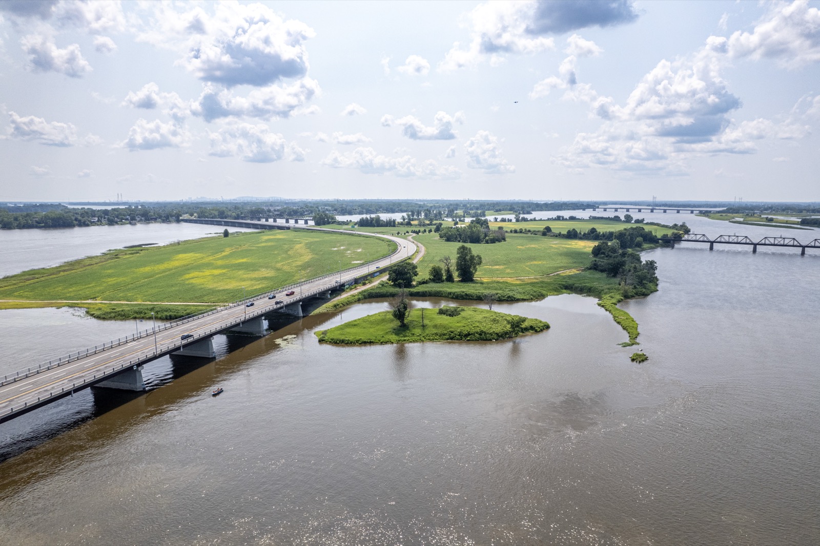
01 Aerial view of the mouth of the Rivière L'Assomption, at the boundary of Charlemagne and Repentigny
The territory

Four waterways at the end of the street

Charlemagne sits on a little over two square kilometres, right near the point where the St. Lawrence River, the Rivière des Prairies, the Rivière des Mille Îles, and the Rivière L'Assomption all come together. The town is bordered by Repentigny to the north and east, Terrebonne to the west, and Montreal right across the water, on the other side of the Rivière des Prairies. The town likes to point out that you're within two kilometres of nature access no matter where you live here, and it's true.

Ask me about it: ask me what it changes to shop in a town that's only two square kilometres. Inventory is thin, so you need to be ready when the right address comes up.
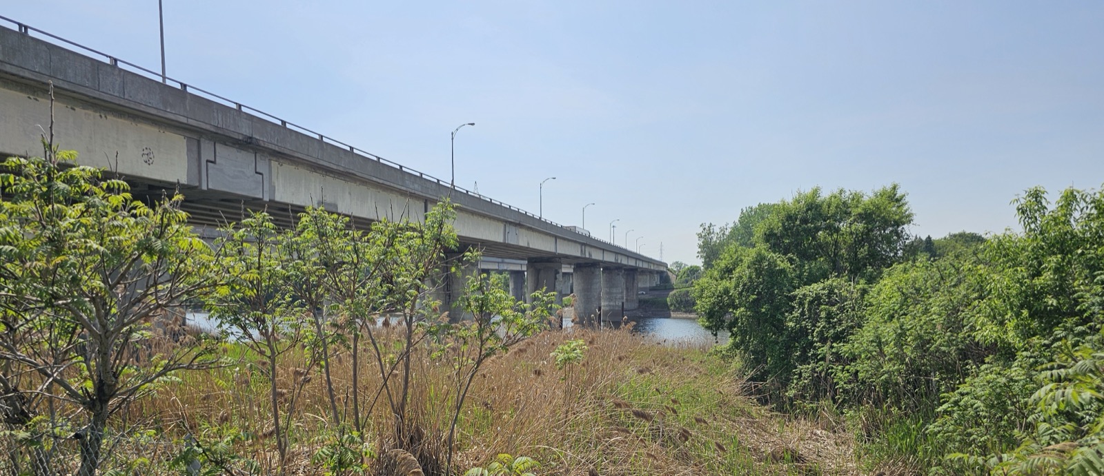
02 The Highway 40 bridge over the Rivière L'Assomption, at the edge of Charlemagne
Access

Highway 40, the 640, and the 138 in the same town

Highway 40, the Félix-Leclerc highway, enters the area by the Charles-De Gaulle bridge and leaves it by crossing the Rivière L'Assomption on the Benjamin-Moreau bridge. This is also where Highway 640 comes to its end, at the interchange with the 40, and where Route 138 heads off toward the Le Gardeur bridge. The town talks about being under twenty minutes from downtown Montreal, and for once the brochure isn't exaggerating. A detail old-timers still bring up: until 1985, there was a toll booth in Charlemagne, right next to that interchange.

Ask me about it: ask me which streets stay genuinely quiet despite being close to the highway. It comes down to a street or two.
03 Aerial view of the Le Gardeur bridge, Île Bourdon, and the railway bridge, at the edge of Charlemagne
Transport

Two stations within two kilometres, none in the town itself

The Train de l'Est, exo's ligne 15 Mascouche, crosses the area on its railway bridge, but it doesn't stop here: the station planned for Charlemagne was cut from the project before the line opened in 2014. The Repentigny and Terrebonne stations are still under two kilometres away, and since January 12, 2026 the line has a new terminus at gare Côte-de-Liesse, right next to the REM station of the same name. On the bus side, exo secteur L'Assomption runs through the terminus Repentigny and down to the Radisson and Honoré-Beaugrand stations on the green line. There's even a taxibus between Charlemagne and Repentigny.

Ask me about it: ask me whether the train or the bus fits your schedule better. It completely changes which part of town I show you.
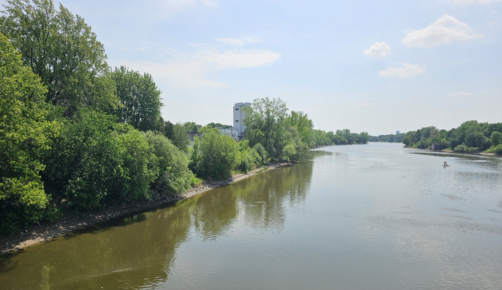
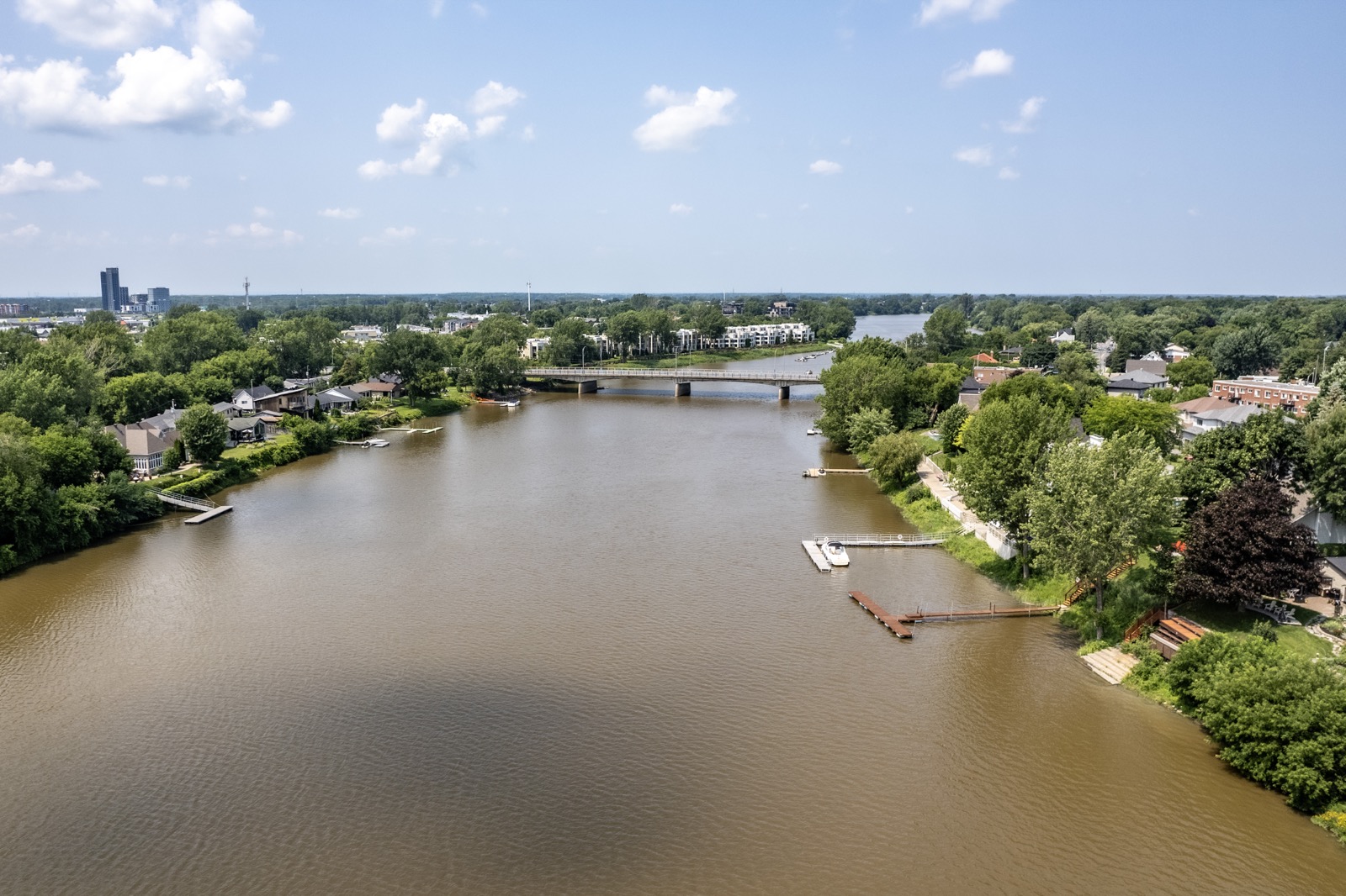
04 The Rivière L'Assomption looking south from the Rivest bridge
The origins

A town born from a sawmill

Charlemagne wouldn't exist without lumber. Starting in 1867, the L'Assomption Lumber Company bought up the land it needed for a large sawmill and wood storage, and over two hundred workers arrived almost overnight. The village grew up around the sawmill, straddling three municipalities. The first public service to arrive, in 1889, was the telephone, with a single subscriber: the mill. The sawmill closed in 1926, and it took the housing developments of the 1950s, then Place Yvon-Plourde, built in 1976 on the old mill's land, to get things moving again.

Ask me about it: ask me where the 1950s houses are and where the 1970s and 1980s ones are. They're not the same buyers, and they don't need the same work.
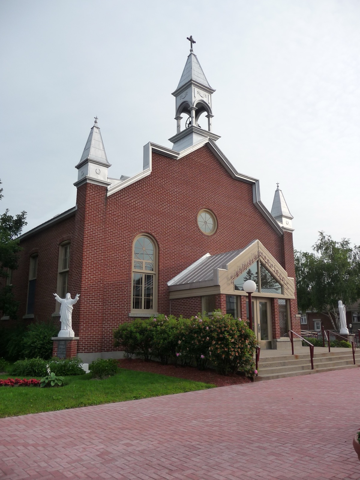
05 The church of Charlemagne, parish of Saints-Simon-et-Jude
Heritage

The brick church and the old village

The parish of Saints-Simon-et-Jude was established in 1910, four years after the municipality was created, and its brick church is still the landmark of the old village, around Rue du Sacré-Cœur and Rue Notre-Dame. The town's name comes from Romuald-Charlemagne Laurier, MLA for L'Assomption and half-brother of Wilfrid Laurier: the municipality was called Laurier in 1906 and was renamed the following year. The nod to the emperor who pushed for public schools isn't a coincidence, since giving the village a school was one of the founders' first requests.

Ask me about it: ask me what sets the old village apart from the rest of town. The lots, the ages of the homes, and the views are nothing alike.
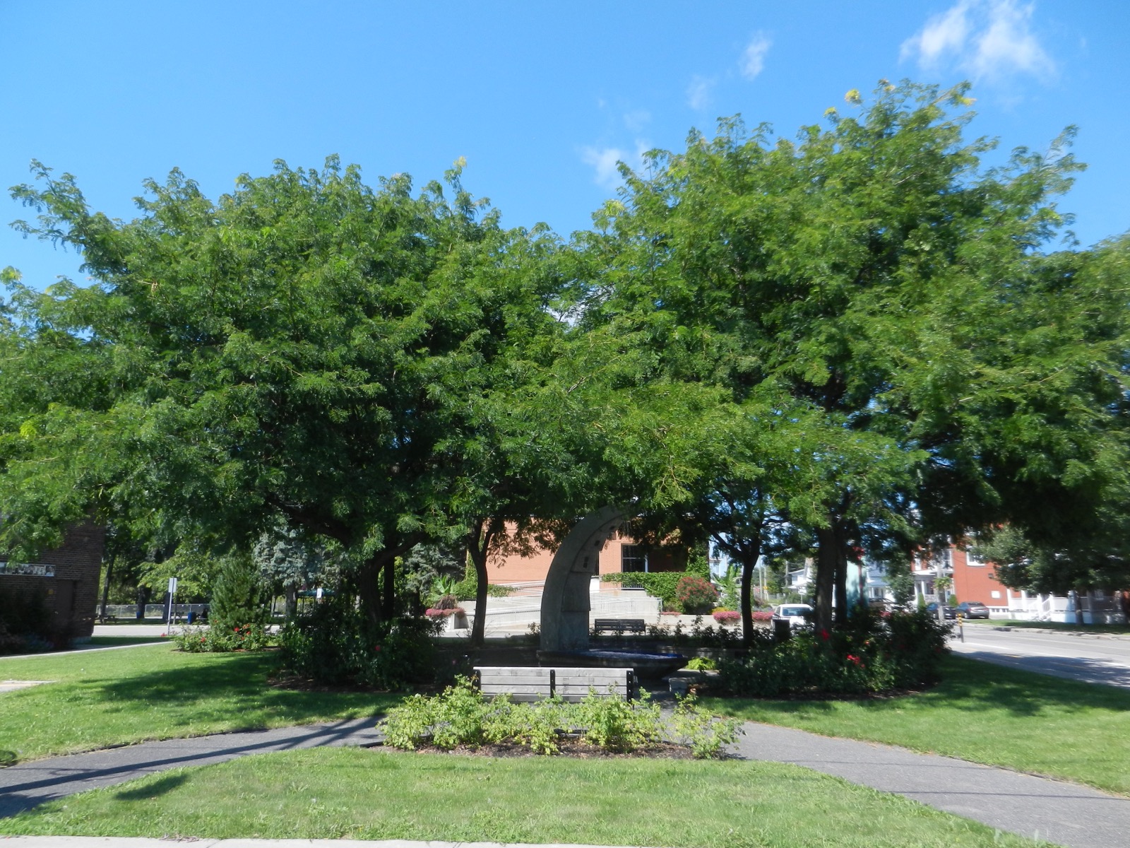
06 Parc du Centenaire in Charlemagne, next to the builders' wall
Memory

A heritage trail and a builders' wall

In 2017, the town opened a heritage trail of twelve sites that takes about forty minutes to walk, with panels whose wood and sawblade motifs recall the origins back in 1867. Nearby, the wall of builders and notable figures, at 25 Rue Saint-Paul next to Parc du Centenaire, honours those who left their mark here. A second trail, the one dedicated to builders and notable figures, can be done on foot or by bike. For a municipality this size, it's rare to see this much energy put into telling its own story.

Ask me about it: ask me to walk the trail with you before a visit. It's the best way to tell if the area feels like you.
07
Local colour

Céline Dion, Camille Laurin, and a boulevard

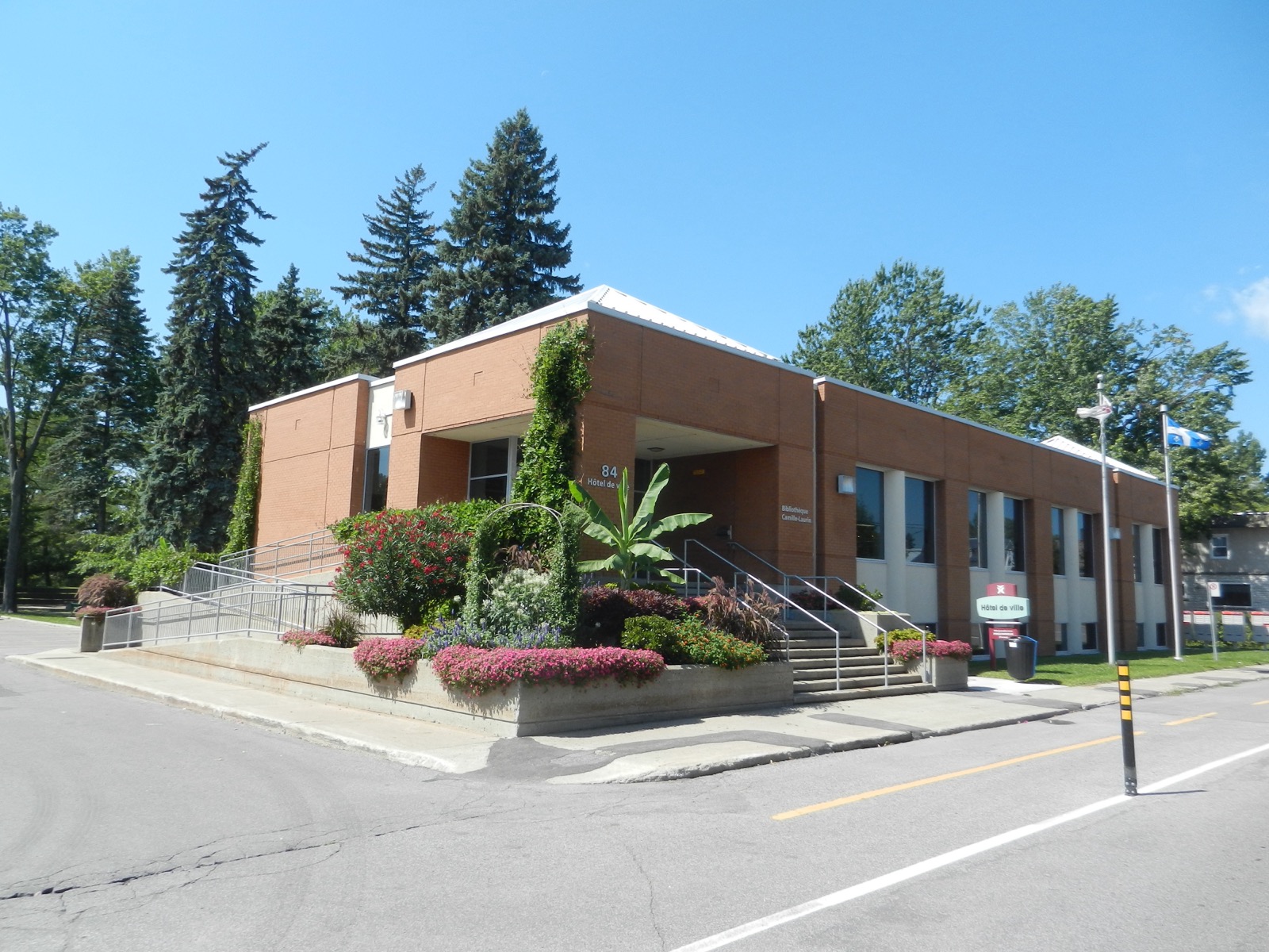
Two well-known names were born here. Camille Laurin, the father of the Charter of the French Language, whom the municipal library is named after. And Céline Dion, whose name the town gave to a stretch of Highway 640 in 2007, despite reservations from provincial authorities. A sphere titled "Céline," created by artist Normand Forget, greeted visitors at the entrance to town from 2004 to 2012 before it was relocated. Her childhood home was torn down in 2014 and replaced by a building linked to the Fondation Maman Dion. You'll also come across the names Sylvain Marcel, Richard Latendresse, and Dominique Lebeau, former drummer for Les Cowboys Fringants.

Ask me about it: ask me whether that fame actually shows up on the ground. The answer often surprises my clients from the island.
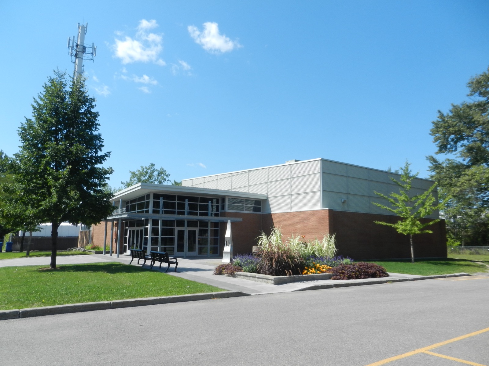
08 The René-Després community centre, in Charlemagne
Family life

Three elementary schools and a community centre

Charlemagne's three elementary schools date back to the 1950s: Émile-Despins and Sainte-Marie-des-Anges on Rue Saint-Alexis, Saint-Jude on Rue Benoit-Sauvageau. High school happens in Repentigny, and English-speaking families are zoned to Franklin Hill school in Repentigny and then Rosemère High School. The René-Després community centre hosts day camp, recreational activities, and public meetings, and the Camille-Laurin library is in temporary quarters while renovations are underway. Add in the community gardens and a twinning with Prigonrieux, in France, which sends a student from here to work there every year and welcomes a French student into a Charlemagne day camp.

Ask me about it: ask me which school serves the address you're interested in. In a town this size, that's a two-minute check.
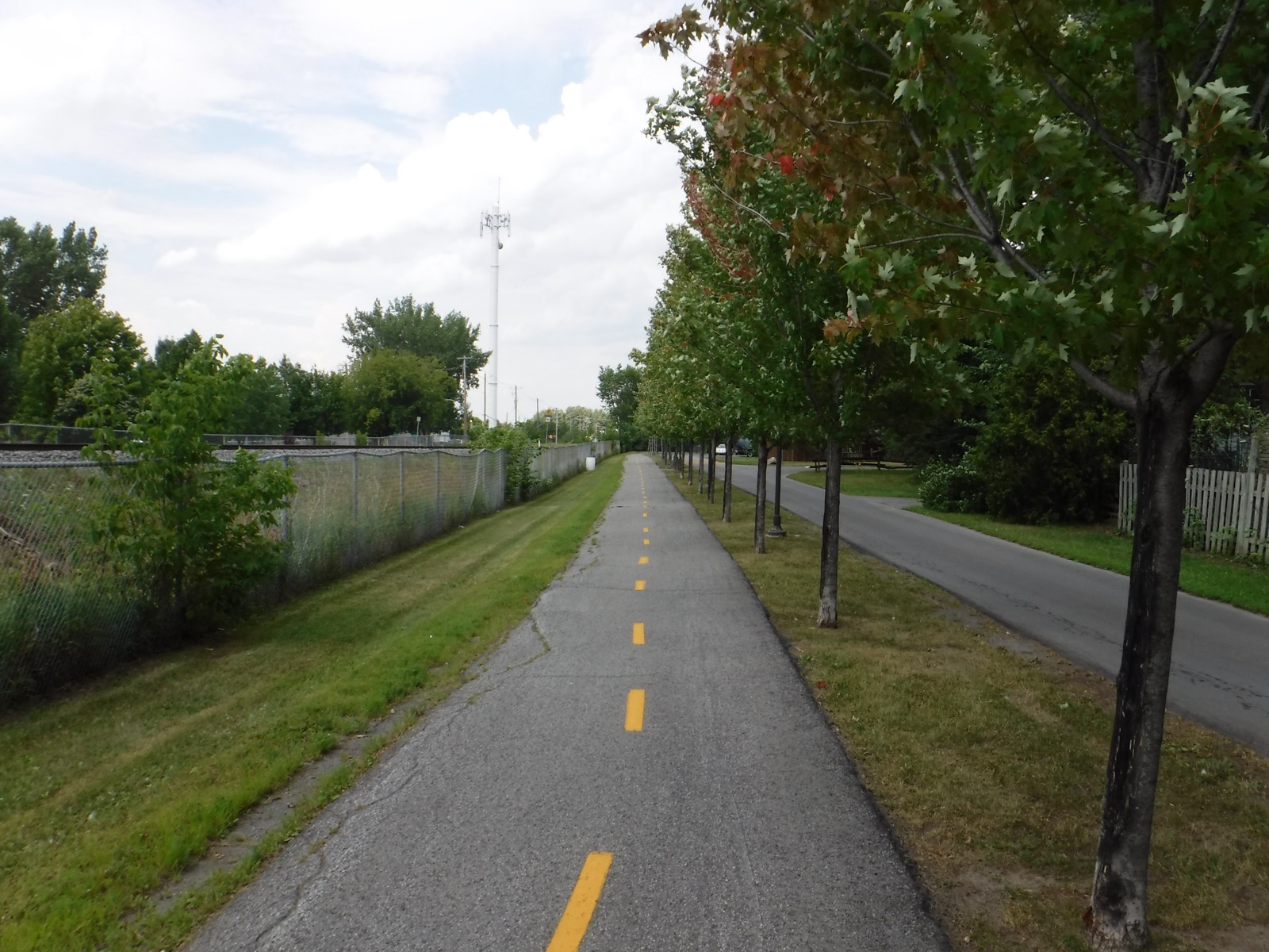
09 The Rue Trudeau bike path, running alongside the rail line, in Charlemagne
Outdoors

Well-equipped parks and six kilometres of bike path

Parc de la Presqu'île has its soccer fields, skate park, and water games. Parc Jacques-Laurin has its baseball diamond, slide, and outdoor rink. Parc Médéric-Lebeau has its pickleball courts and municipal chalet. Parc Charlemagne-Laurier has its outdoor pool, water games, tennis, and beach volleyball. Add Parc des Rives, Parc du Petit-Bois-des-Pères, and Parc faunique Desjardins. The bike network runs past six kilometres, connects to the Route verte, and the town clears it of snow year-round.

Ask me about it: ask me which streets back directly onto a park or the bike path. It's an argument that carries weight when you resell.
10 Charlemagne's town hall, on Rue du Sacré-Cœur
What's coming

Boulevard Céline-Dion is getting a makeover

The town is working on a special urban planning program for Boulevard Céline-Dion: mobility, green and blue infrastructure, building character, measured densification. The information session on April 15, 2026 at the René-Després community centre drew dozens of residents, with themed kiosks and the firm L'Atelier Urbain presenting. Smart traffic lights are part of the plan. Alongside that, a twenty-unit affordable housing project is in development, work is underway to add a backup water main, and municipal offices are temporarily located at 2 Boulevard Céline-Dion until the summer of 2027.

Ask me about it: ask me what this plan could change near the boulevard. That's exactly the kind of information that weighs into a buying decision.
Let's talk

Thinking about buying or selling in Charlemagne? Let's start with a conversation.

A free evaluation of your property, a picture of the local market, or simply answers to your questions. No strings attached, and a straight answer.

Start my real estate project

Photo credits