← Back to the North Shore map
Area · City of Repentigny, Lanaudière

Repentigny

The St. Lawrence at the end of the street, a river that splits two former towns, and a chemin du Roy three centuries old. Here's my top 10, the neighbour's version, not the brochure's.

Let's talk about this area

Repentigny is the gateway to Lanaudière when you're coming from Montreal by the east. I leave Verdun, take Highway 40, cross the pont Charles-De Gaulle and I'm there. The seigneury was granted in 1647 and the parish founded in 1669, which makes Repentigny one of the oldest inhabited places in Quebec. The city as it stands today, though, dates from June 1, 2002: it's the merger of Repentigny and Le Gardeur. With about 86,000 people at the 2021 census, it ranks among Quebec's fifteen largest cities.

For families, the school offering is solid and local: the Jean-Baptiste-Meilleur and Félix-Leclerc high schools, plus the head office of the Centre de services scolaire des Affluents on rue Jean-Baptiste-Meilleur, and that of the Cégep régional de Lanaudière, whose constituent colleges are in L'Assomption, Terrebonne and Joliette.

I put this top 10 together for a simple reason: when you buy or sell, you're not just shopping for a property, you're shopping for a neighbourhood life. Every point comes with an opening for a conversation. Use it.

Maxime Laforest, residential and commercial real estate broker · Équipe Loiselle, RE/MAX Dynamique

The area's top 10

What makes the heart of Repentigny beat.

Ten reasons buyers cross the bridge, and why the ones already here often stay a lifetime.

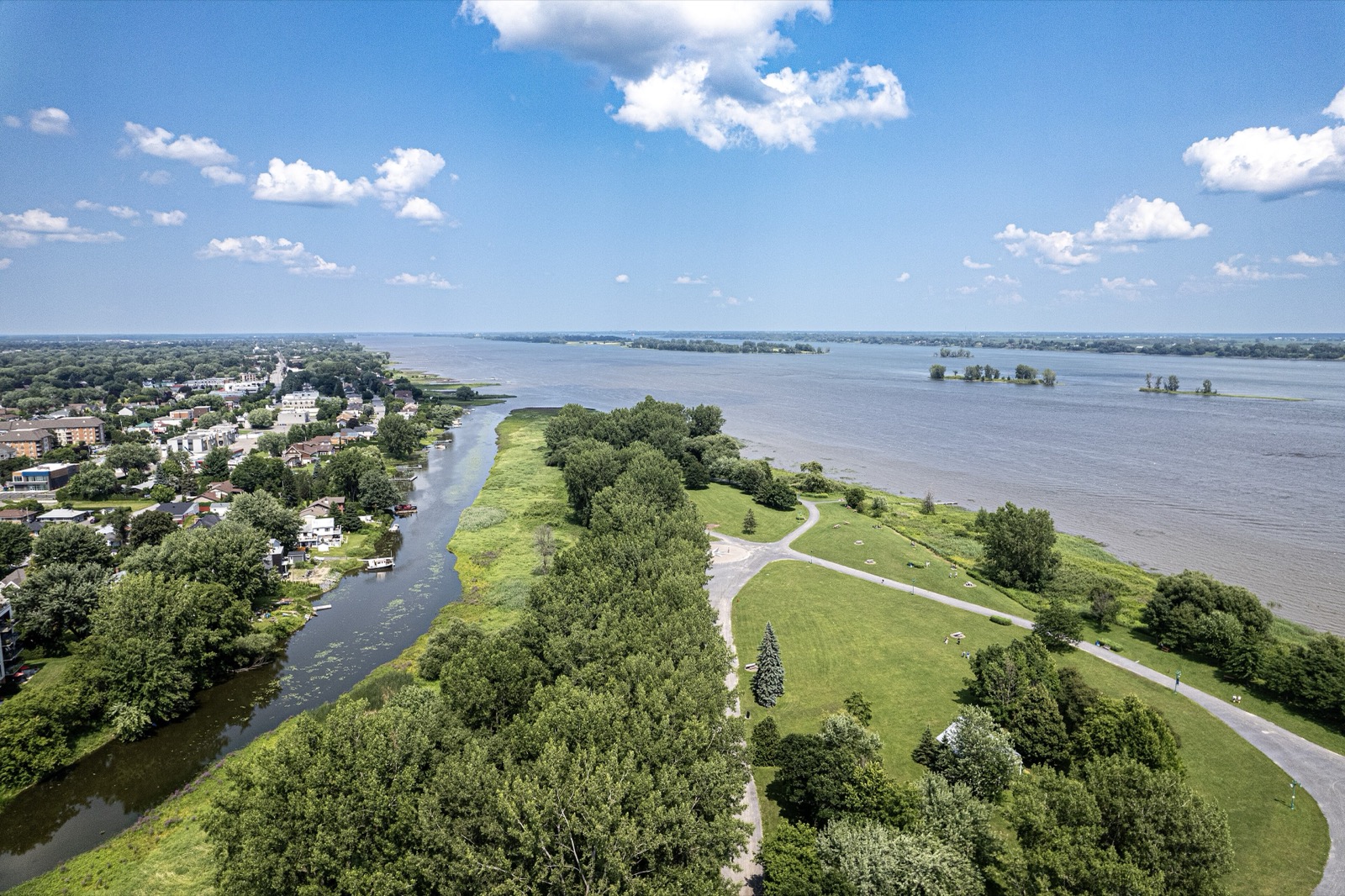
01 Aerial view of Parc de l'Île-Lebel and the St. Lawrence River in Repentigny
Nature

Parc de l'Île-Lebel, the river at the end of the street

Fifteen and a half hectares of shoreline right in the heart of the city, at 396 rue Notre-Dame, with a three-kilometre trail running along the St. Lawrence. More than thirty-seven bird species have been observed there, wifi is free across almost the whole park, and the gates stay open from 8 a.m. to 11 p.m. Out front, a string of islands closes off the horizon and gives the river the feel of a lake.

Ask me about it: ask me which streets get you to the park on foot in five minutes. That's the kind of detail that carries weight on resale day.
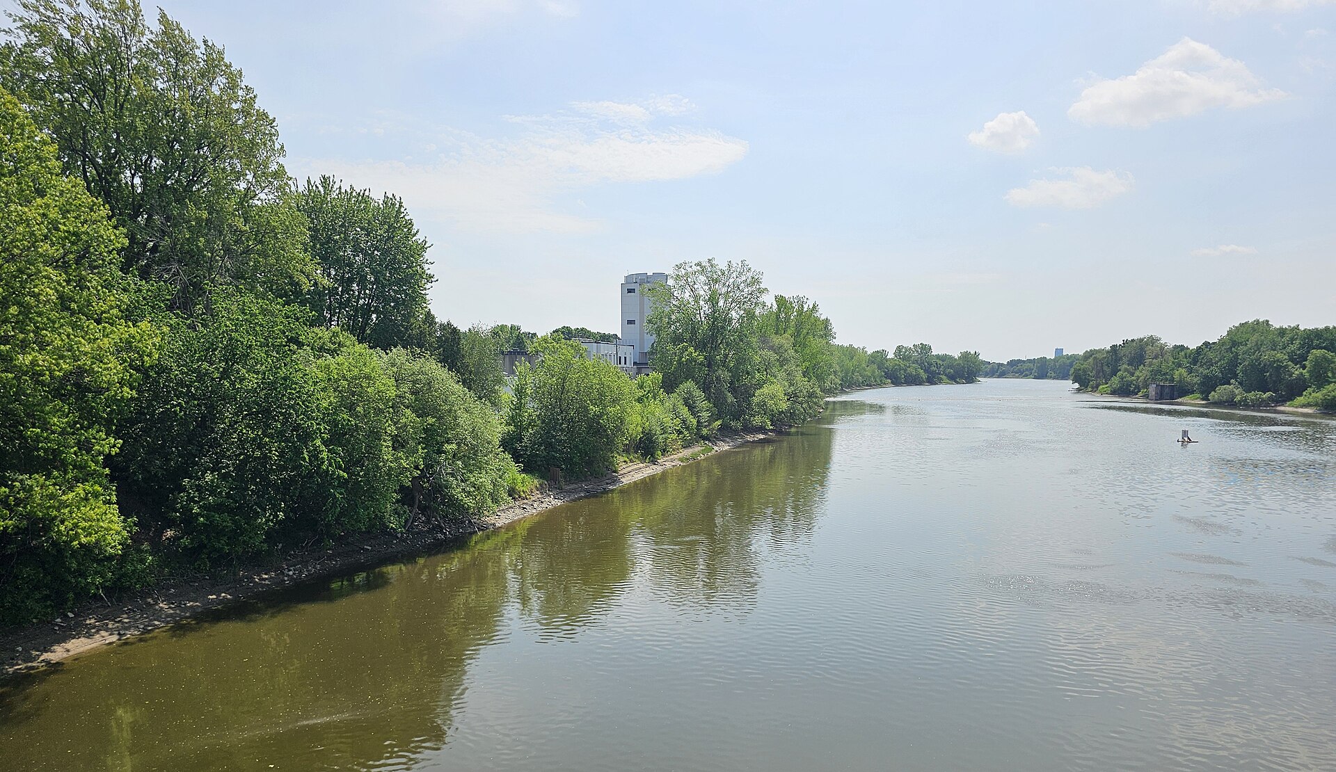
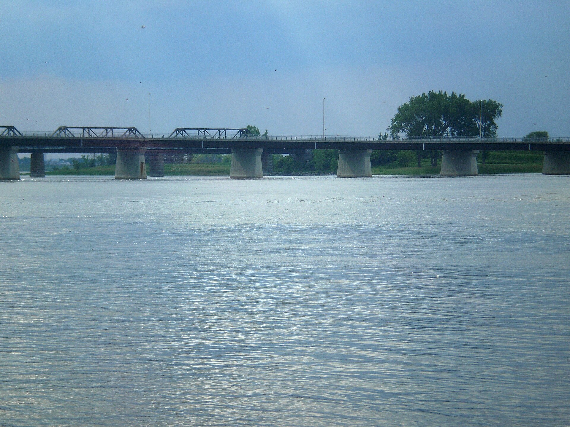
02 The L'Assomption river seen from the pont Rivest, on boulevard Brien in Repentigny
Geography

The L'Assomption river, the city's seam

It flows down from the north and empties into the St. Lawrence at the western tip of the territory. It's what separates old Repentigny from the Le Gardeur sector, and boulevard Brien stitches them back together with the Rivest and Brisson bridges. On both banks, quiet residential streets sit right on the water, a few minutes from Highway 40.

Ask me about it: ask me what it changes to be on the Le Gardeur side rather than the Repentigny side. Both have their fans, and it's not just a matter of kilometres.
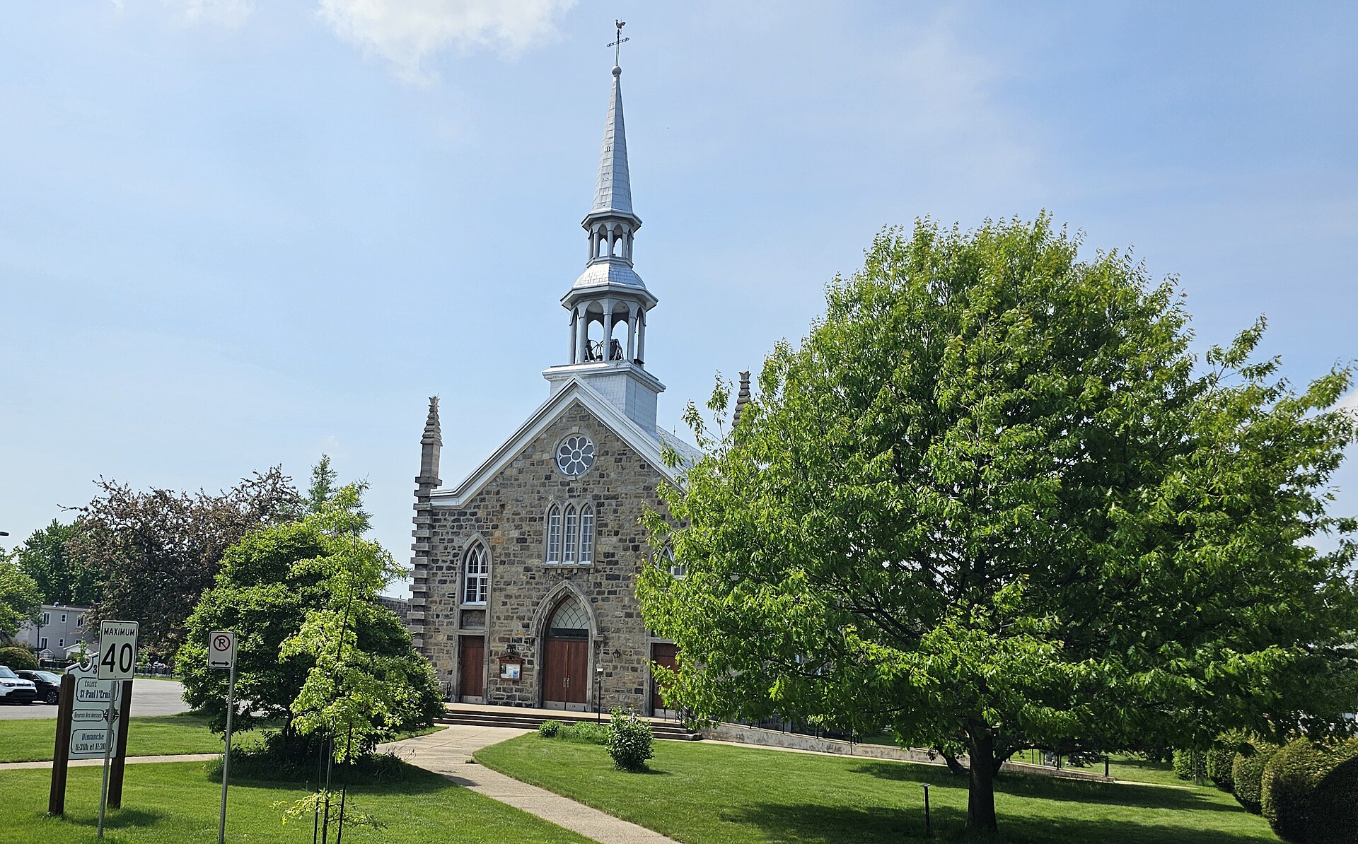
03 Saint-Paul-l'Ermite church, rue du Village, in the Le Gardeur sector of Repentigny
The neighbourhoods

The old village of Saint-Paul-l'Ermite

In the Le Gardeur sector, rue du Village still has its church, its cemetery and its village scale. The municipality stood on its own from 1857 to 2002, first under the name Saint-Paul-l'Ermite, then under Le Gardeur starting in 1978. A lot of people from around here still introduce themselves as being from Le Gardeur, never as Repentignois.

Ask me about it: ask me what sets the old village houses apart from the 1980s developments. It shows in the lots as much as in the foundations.
04 The pont Le Gardeur, between Repentigny and the east tip of the island of Montreal
Access

Two bridges to the island, and Highway 40 in the yard

Repentigny connects to the east tip of Montreal by the pont Charles-De Gaulle, which carries Highway 40's six lanes, and by the pont Le Gardeur, renamed pont Jean-Baptiste-Legardeur in 2020 for the 350th anniversary. Highway 640 connects to Highway 40 right nearby, Route 138 crosses the city under the name rue Notre-Dame, and boulevard Céline-Dion leads to neighbouring Charlemagne.

Ask me about it: ask me how morning traffic actually behaves depending on the neighbourhood. Two addresses three kilometres apart don't live through the same rush hour.
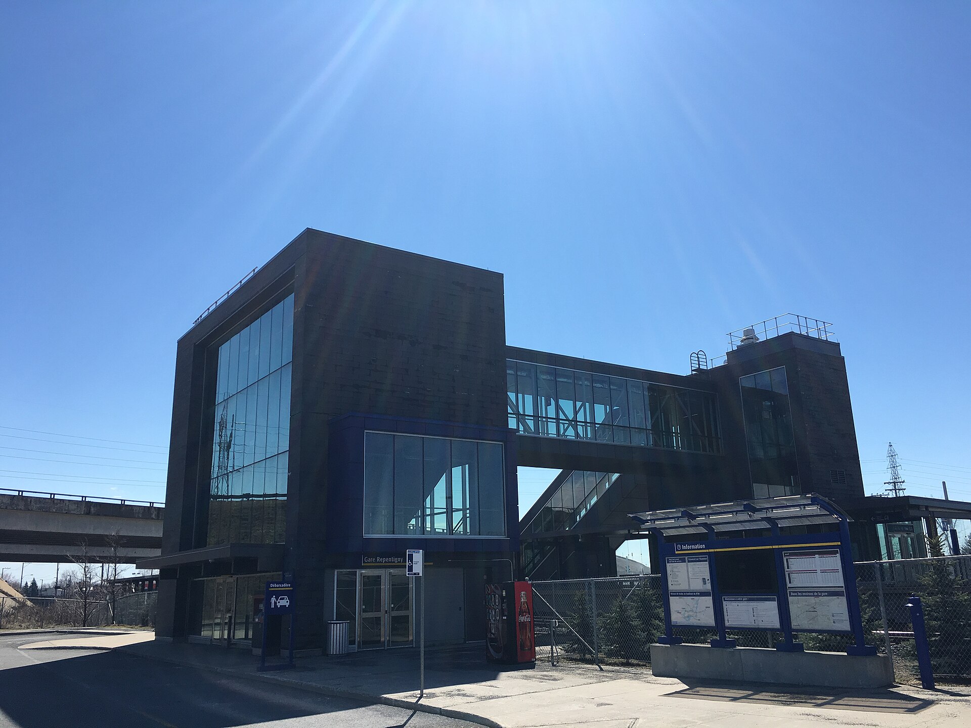
05 The exo Repentigny train station, boulevard Lacombe
Transit

The boulevard Lacombe train

The Repentigny station, at 55 boulevard Lacombe, has been open since December 1, 2014 on exo's ligne 15 Mascouche, which runs to gare Côte-de-Liesse, connecting with the REM. Raised platform, covered footbridge over the tracks, elevator, 587 park-and-ride spots and 49 bike racks. For those who prefer the bus, the Repentigny terminus on rue Leclerc sends ligne 100 toward the Radisson and Honoré-Beaugrand metro stations, and ligne 200 express toward Radisson.

Ask me about it: ask me which areas are close enough to the station to reach it on foot or in a ten-minute bike ride. The list is shorter than people think.
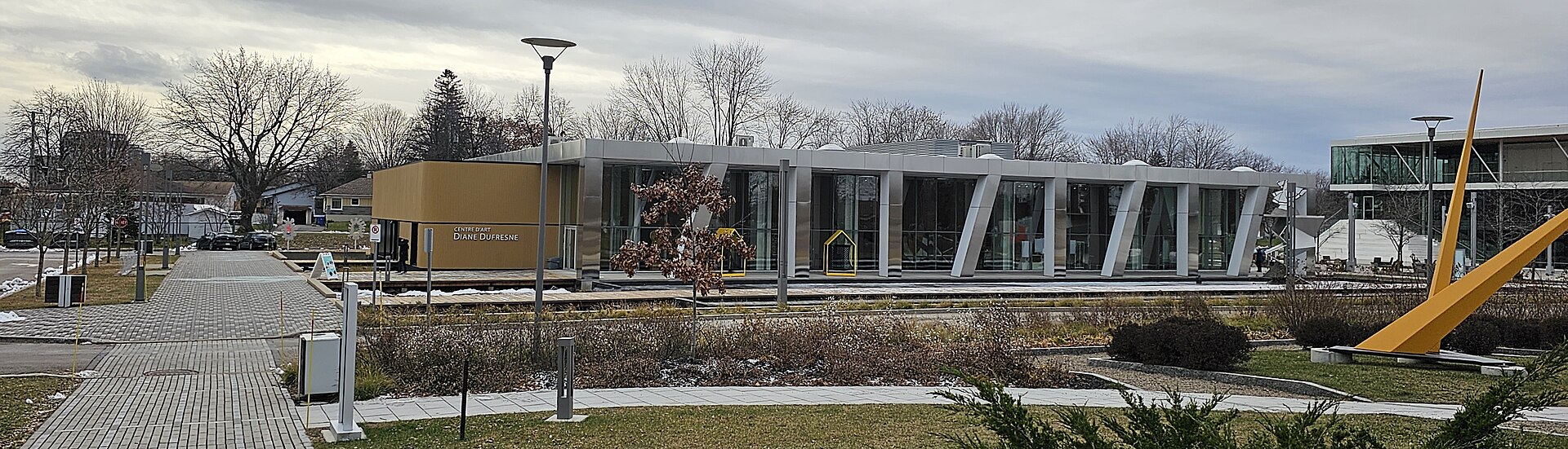
06 The Centre d'art Diane-Dufresne, in Repentigny's Espace culturel
Culture

The Espace culturel, a real downtown

Few suburban cities have given themselves a cultural hub of this scale. The Centre d'art Diane-Dufresne with its contemporary architecture, the Théâtre Alphonse-Desjardins, opened in April 2021 with four hundred seats, the Robert-Lussier library, and gardens dotted with public art, all of it right against a commercial strip with its cafés and restaurants.

Ask me about it: ask me what being close to the Espace culturel changes about a neighbourhood's feel. It's an argument I use often during showings.
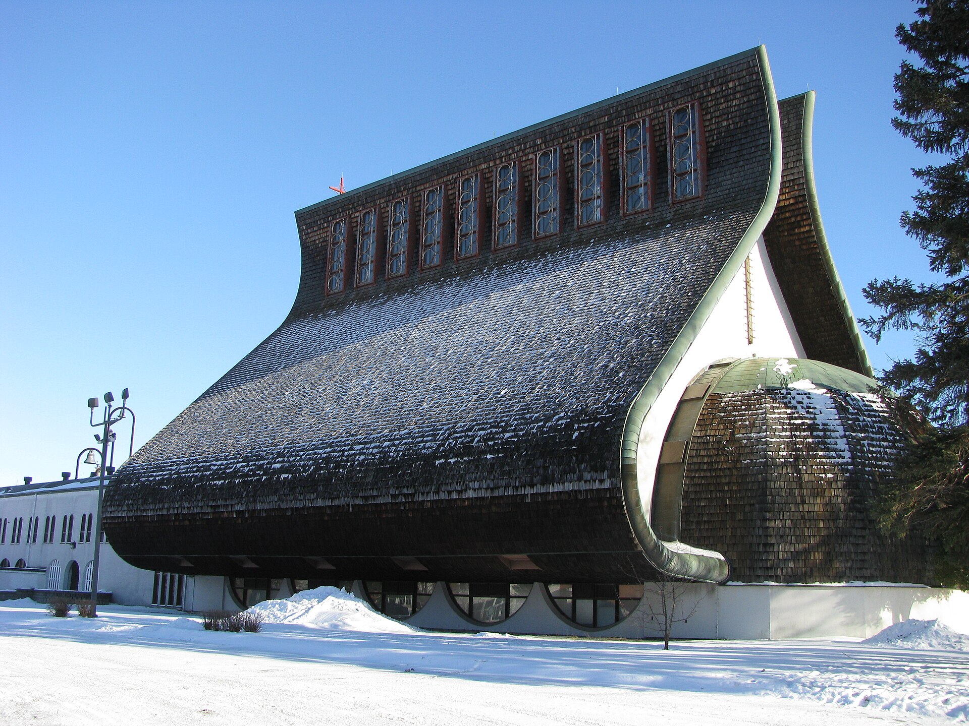
07 Notre-Dame-des-Champs church, nicknamed the Sacoche, boulevard Iberville in Repentigny
Architecture

The Sacoche, the church everyone recognizes

At 187 boulevard Iberville, the Notre-Dame-des-Champs church was designed in 1963 by Roger D'Astous. Its shape and its cedar-shingle envelope earned it its local nickname, the Sacoche, and a place among the boldest works of modern Quebec architecture. In April 2026, the Ministère de la Culture signed a notice of intent to classify the parish complex and released more than 1.1 million dollars for urgent shingle repairs.

Ask me about it: ask me to show it to you in person when we tour the area. Photos don't do it justice.
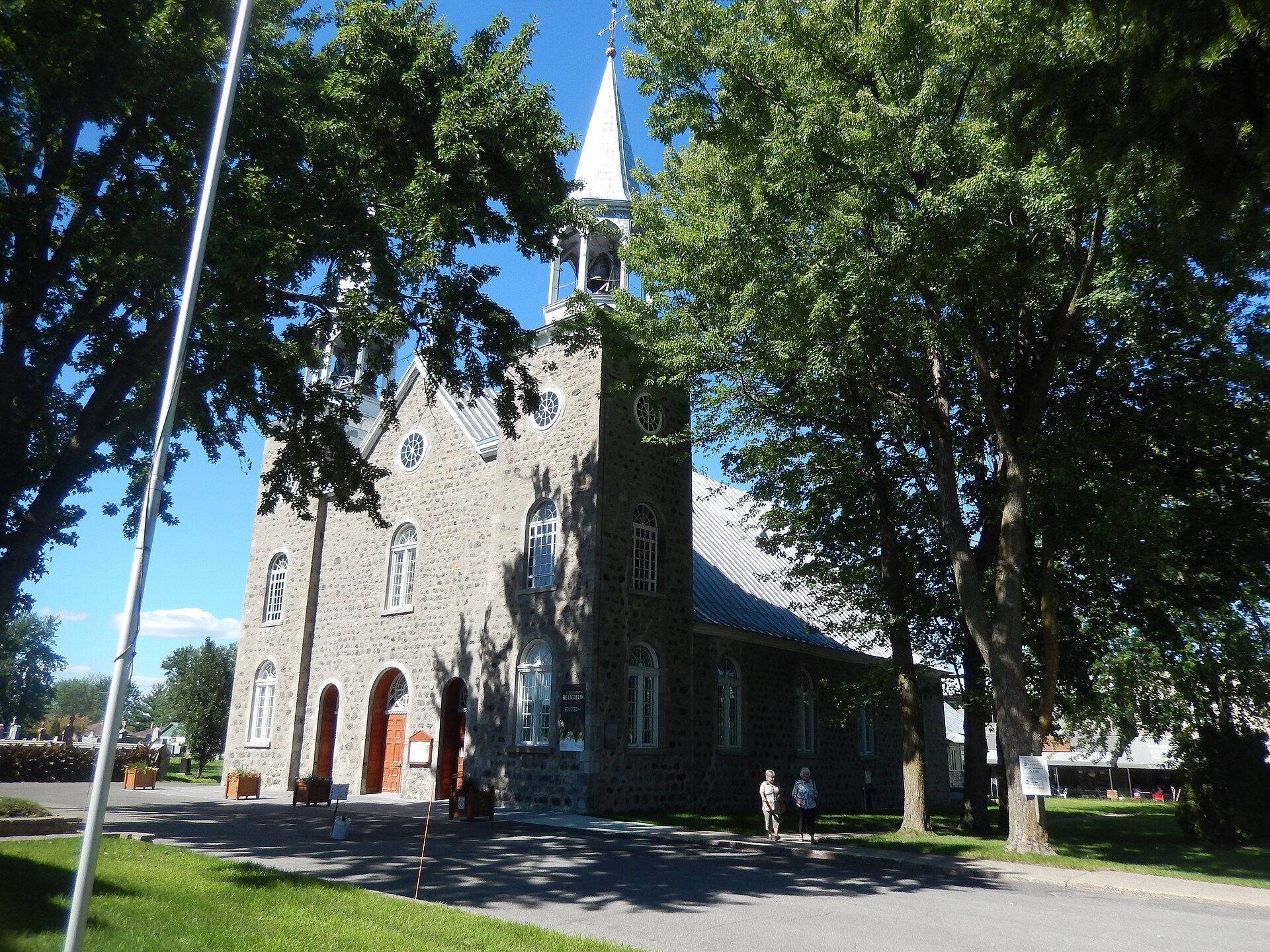
08 The church of la Purification-de-la-Bienheureuse-Vierge-Marie, rue Notre-Dame in Repentigny
Heritage

The chemin du Roy and its old stones

Rue Notre-Dame follows the route of the chemin du Roy, and the church of la Purification-de-la-Bienheureuse-Vierge-Marie has stood there for close to three centuries: construction started in 1723, completed in 1727, classified as heritage property in 1978. Further along, two fieldstone windmills have made it through time, the 1820 moulin Grenier and the 1823 moulin Antoine-Jetté.

Ask me about it: ask me what being next to a heritage area means when it's time to renovate. Better to know it before the offer than after.
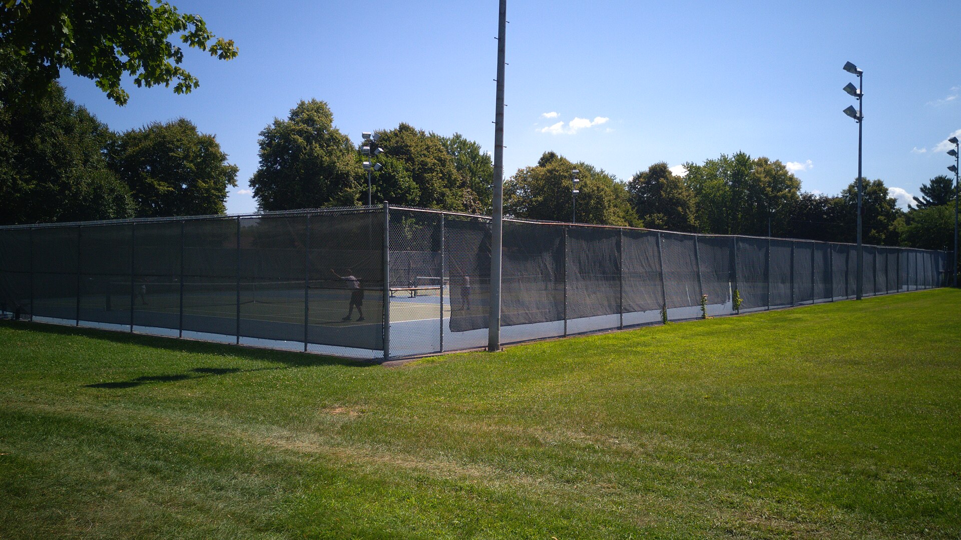
09 The tennis courts at Parc Champigny, in Repentigny
Active living

Eighty kilometres of cycling and an international tournament

The bike network reaches 82.6 kilometres, with six rest stops built in. In summer, the river shuttle at Parc Saint-Laurent carries forty-eight people and twenty-five bikes over to Varennes and Pointe-aux-Trembles. And since 1985, the city has hosted the National Bank Junior Tennis Internationals, the second-oldest tennis event in the country: Félix Auger-Aliassime, Leylah Annie Fernandez, Iga Swiatek and Elena Rybakina all played there before they were known. On the baseball side, everything happens at the Flavio-Prata stadium in Parc Champigny.

Ask me about it: ask me which neighbourhoods give you access to the bike path without having to put the bike on the car. For a lot of buyers, that's a non-negotiable criterion.
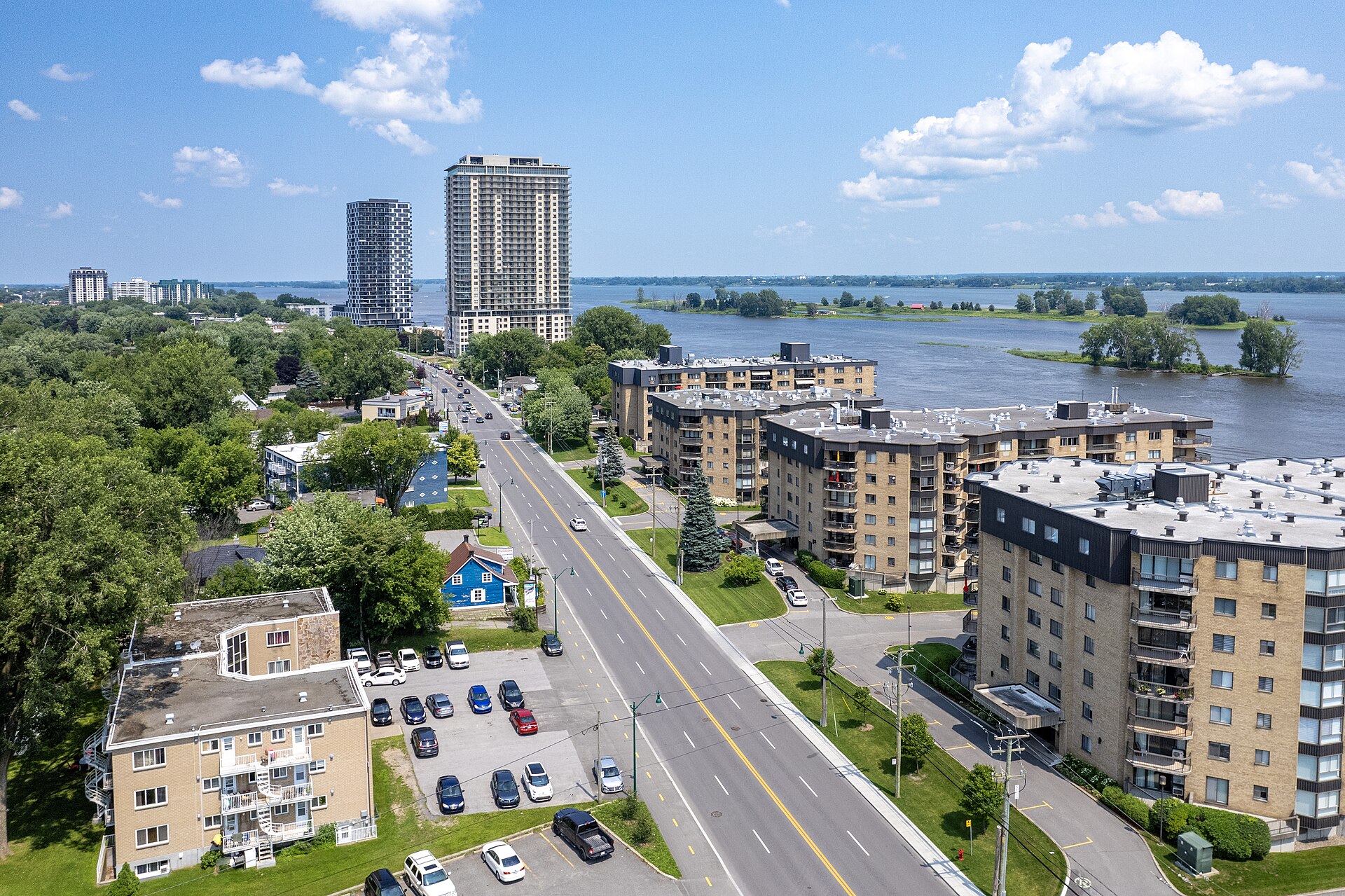
10 Aerial view of rue Notre-Dame and the residential towers along the river, in Repentigny
The projects

Avantia and tomorrow's rue Notre-Dame

The city launched a $57-million infrastructure project in 2026, including the rebuild of rue Notre-Dame between Joffre and Saint-Étienne with a new multi-use link on the north side. Further north, the Avantia project aims to transform close to six million square feet squeezed between boulevards Brien and Industriel, along Highway 40: a mix of housing, neighbourhood shops, a large park running through the site and a bus terminus, over roughly twenty years. The model is set to be shown at city hall in October 2026.

Ask me about it: ask me what a project like this could do to neighbourhood values in the medium term. It's exactly the kind of bet we assess together.
Let's talk

Thinking about buying or selling in Repentigny? Let's start with a conversation.

A free evaluation of your property, a picture of the local market, or simply answers to your questions. No strings attached, and a straight answer.

Start my real estate project

Photo credits