← Back to the North Shore map
Area · City of Sainte-Marthe-sur-le-Lac, Basses-Laurentides

Sainte-Marthe-sur-le-Lac

Numbered avenues running down to the lake, a dike rebuilt higher than before, and a downtown taking shape. Here's my top 10, neighbour style, not brochure style.

Let's talk about this area

Sainte-Marthe-sur-le-Lac is 12.8 square kilometres sitting on the northeast shore of the lac des Deux Montagnes, between Deux-Montagnes, Saint-Eustache, Saint-Joseph-du-Lac and Pointe-Calumet. The city split off from Saint-Eustache in 1960 and grew from about 5,600 residents in 1981 to nearly 19,800 at the 2021 census. In other words: a former cottage-country area that became a real city, without ever losing its waterfront.

It's an area where buyers show up with specific questions, and not just about the house. The dike, flood zones, distance from the REM, the neighbourhood school. I put this top 10 together to give you the straight story on what really shapes life here. Each point comes with an opening to talk. Use it.

Maxime Laforest, residential and commercial real estate broker · Équipe Loiselle, RE/MAX Dynamique

The area's top 10

What makes the heart of Sainte-Marthe-sur-le-Lac beat.

Ten things worth knowing before you shop here, and ten reasons why the people settled here have no interest in leaving.

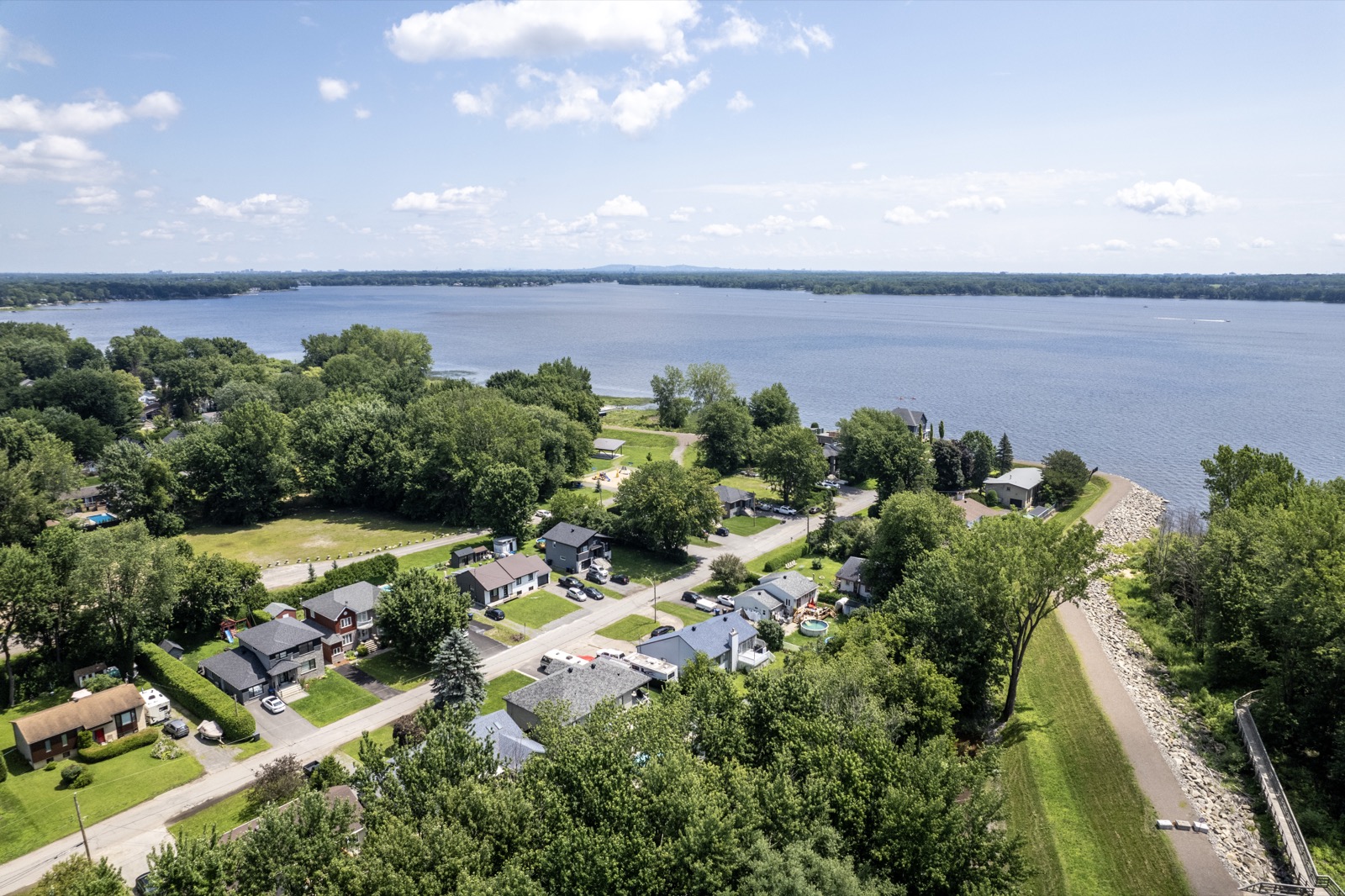
01 Vue aérienne du parc de la Frayère, au bord du lac des Deux Montagnes à Sainte-Marthe-sur-le-Lac
Waterfront

The lac des Deux Montagnes at the end of the avenues

The city's name isn't just decoration: the lake closes off the south end of the territory, and the city maintains several public access points. Two boat launches, on 13e and 37e Avenue, serve motorized craft. Four galvanized steel staircases give access to the water for canoes, kayaks and paddleboards, at 9e Avenue, 44e Avenue, parc de la Frayère and parc de la Fraternité. The 13e Avenue access was closed for renovation work, with reopening planned for the 2026 summer season.

Ask me about this: which streets let you walk down to the water with a kayak on your shoulder. That's an argument I bring up often during visits.
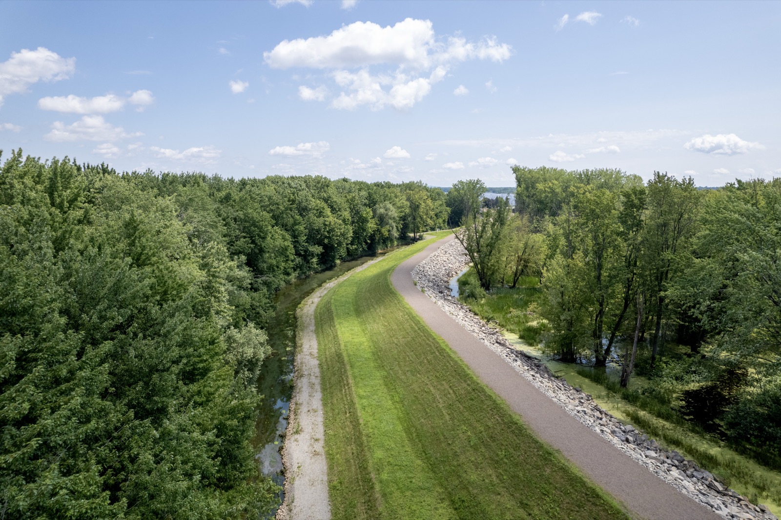
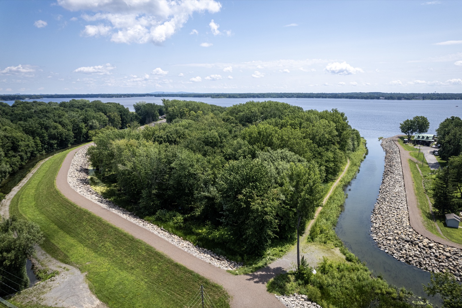
02 Vue aérienne de la digue de Sainte-Marthe-sur-le-Lac
The turning point

The dike, and what 2019 changed

On April 27, 2019, the dike built in 1970 broke. About a third of the territory ended up underwater, some 6,000 people were evacuated and close to 2,500 homes were affected. The city was rebuilt, and so was the dike: the new structure, more than 5 kilometres long, reaches 25.5 metres above sea level, compared to 24.27 metres for the old one. In spring 2026, mayor François Robillard publicly confirmed that the new dike was doing its job.

Ask me about this: this is the first question every one of my buyers asks, and it deserves a real answer. Ask me how to check the lot elevation, the applicable flood zone and the insurability of a specific property before submitting an offer.
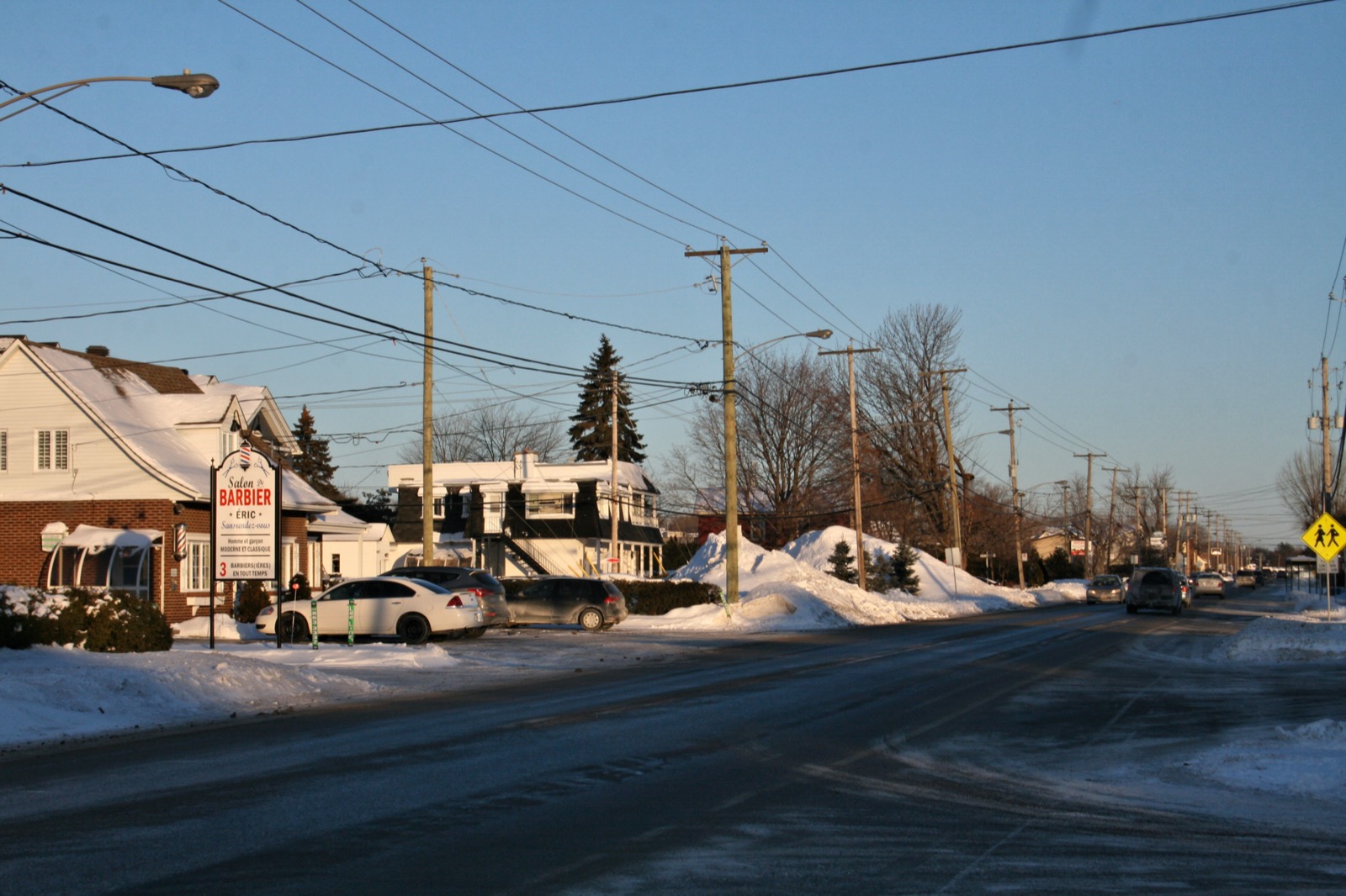
03 Artère commerciale bordée de commerces de proximité à Sainte-Marthe-sur-le-Lac, en hiver
The main artery

Chemin d'Oka, route 344

Every street in the city eventually leads to chemin d'Oka, which carries the number 344 and crosses the territory from east to west. That's where most of the area's restaurants cluster, from Italian and Portuguese tables to neighbourhood pizzerias, alongside local shops like Boulangerie Les Moulins La Fayette and the fine grocer Épices Garno. Heading east, the 344 leads to old Saint-Eustache. Heading west, it continues to Pointe-Calumet, the orchards of Saint-Joseph-du-Lac and Oka National Park.

Ask me about this: what it changes to live one street from chemin d'Oka rather than ten. Noise and traffic feel very different from one side to the other.
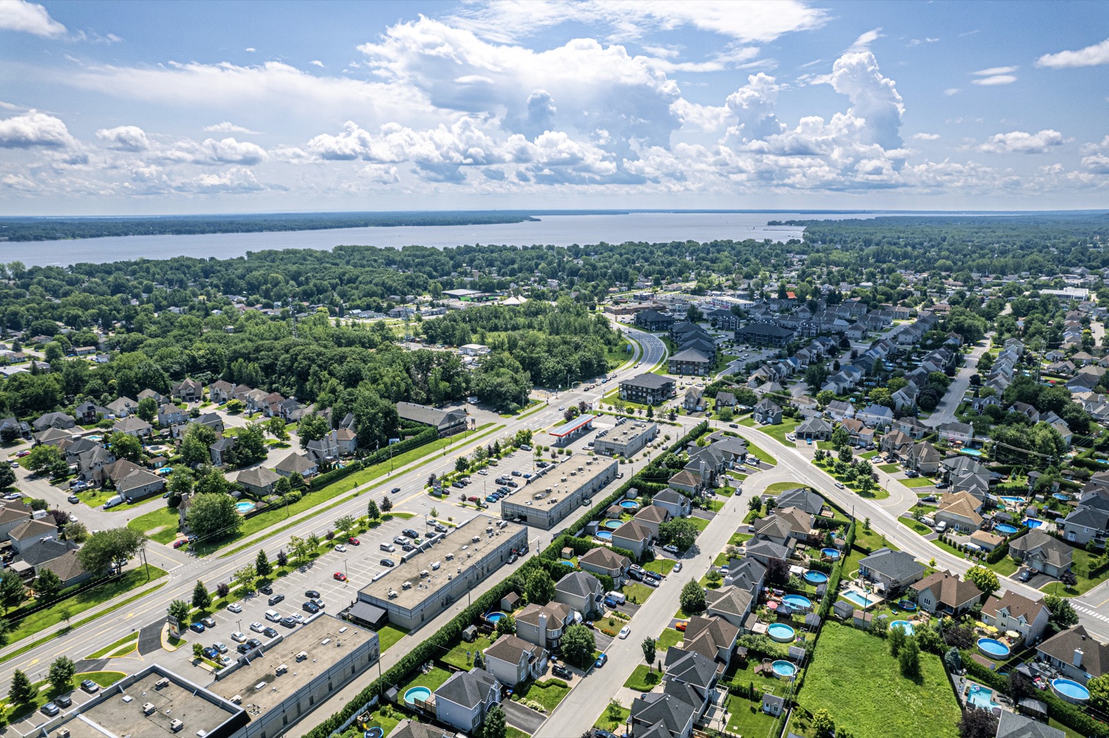
04 Vue aérienne du boulevard des Promenades et de son pôle commercial, à Sainte-Marthe-sur-le-Lac
The projects

Boulevard des Promenades and the downtown to come

Boulevard des Promenades, together with chemin d'Oka, forms the city's commercial hub. It's home to the area's grocery stores, including a Super C and a Metro, as well as banners like Tigre Géant and Stokes, and the stretch closest to chemin d'Oka has welcomed several new businesses. City council mandated the firm Atelier urbain on January 21, 2026 to prepare a special urban planning program for this strategic area, right next to the city's institutional hub. The document is expected in fall 2026 and includes a public consultation.

Ask me about this: what a special urban planning program actually means for a property owner in the area. It's the kind of file I follow closely for my clients.
05 Vue aérienne de la 22e Avenue et de ses maisons, à Sainte-Marthe-sur-le-Lac
Finding your way

Numbered avenues

In the older part of the city, nobody arranges to meet on a street with a fancy name: the avenues are numbered and run down from chemin d'Oka to the lake. That's how people here place themselves, on the 9th, on the 22nd, on the 37th. Each avenue tells its own era, because the area was a cottage-country destination before it became a year-round suburb. So you'll find just as many converted old cottages as fully rebuilt houses.

Ask me about this: how to read the real age of a property along these avenues. Between a cottage expanded three times and a recent build, the inspection isn't prepared the same way.
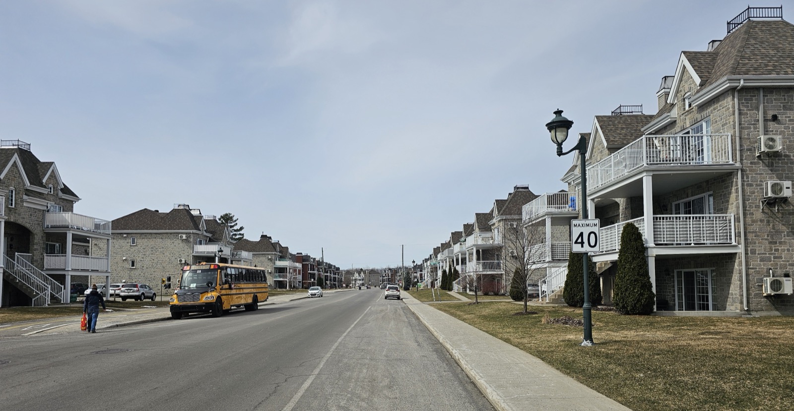
06 Le boulevard des Pins et son secteur résidentiel récent, à Sainte-Marthe-sur-le-Lac
The neighbourhoods

The north end, built more recently

North of chemin d'Oka, the landscape shifts to a different generation. Boulevard des Pins and streets like rue de la Tourbière are part of the more recently developed areas, with tighter, more uniform building than along the waterfront. That's where recent decades of growth have concentrated, in a city with about 1,550 residents per square kilometre and few large vacant lots left.

Ask me about this: what really sets the north and south sides of chemin d'Oka apart for a young family. Both have their supporters, for different reasons.
07
Transit

The REM a few minutes away, the 640 close by

There's no REM station within Sainte-Marthe-sur-le-Lac itself, but the two closest stations are right next door, in Deux-Montagnes. The Grand-Moulin station opened on November 17, 2025 with about 236 parking spaces, and the REM's Deux-Montagnes branch is now in service all the way to downtown Montreal. For those who prefer the bus, exo's line 93 connects the Deux-Montagnes station to Saint-Eustache by way of chemin d'Oka. By car, you reach Highway 640, which gives access to the 13 and then the 440 toward Laval, and to the 15 toward Saint-Jérôme. We're talking about roughly thirty kilometres from downtown Laval.

Ask me about this: ask me to time your real commute to the station, on foot, by bus and by car. A ten-minute walk and a ten-minute drive aren't the same decision.
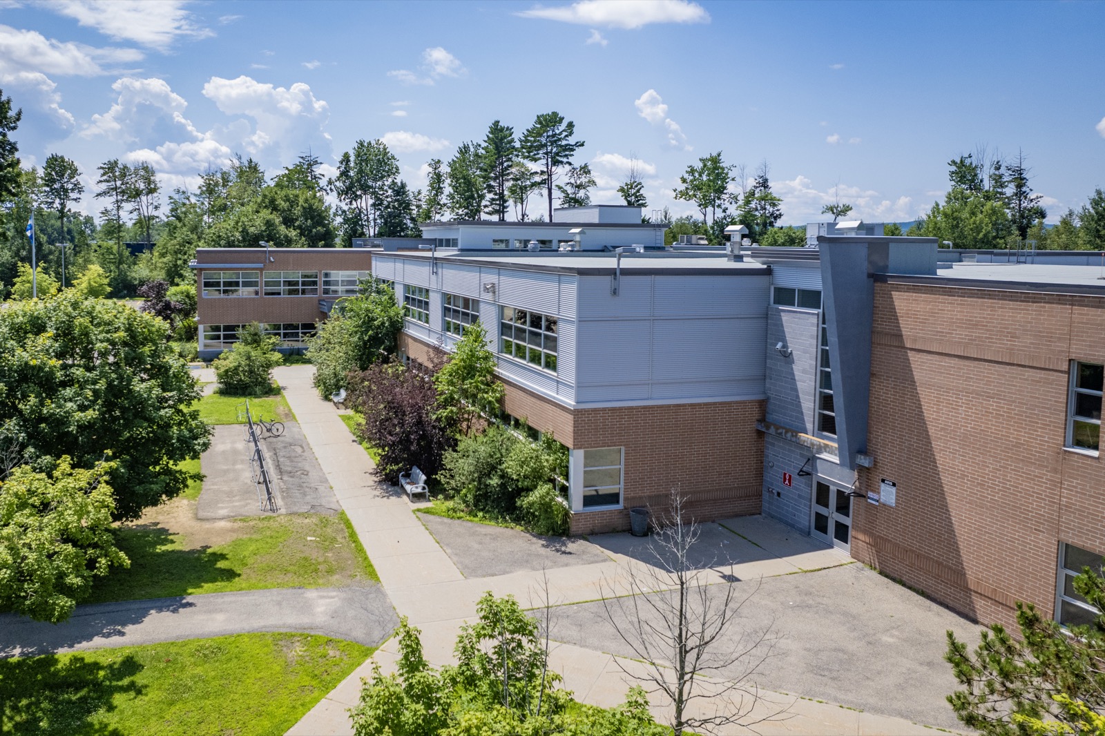
08 L'école secondaire Liberté-Jeunesse, à Sainte-Marthe-sur-le-Lac
Family life

The schools, and the one still to come

The Centre de services scolaire des Mille-Îles runs three elementary schools in the city, including école des Grands-Vents, plus the École secondaire Liberté-Jeunesse, which lets a lot of kids go through their entire schooling without leaving the city. A new elementary school is in the works on the site of parc Félix-Leclerc, at the corner of 17e Avenue and chemin d'Oka, with part of the municipal garage lot ceded by the city and the possibility of laying out a new park on the site. Police and fire services, meanwhile, are shared with Deux-Montagnes.

Ask me about this: ask me to check the school catchment for the address you're interested in. Boundaries change, and one street can mean a different school.
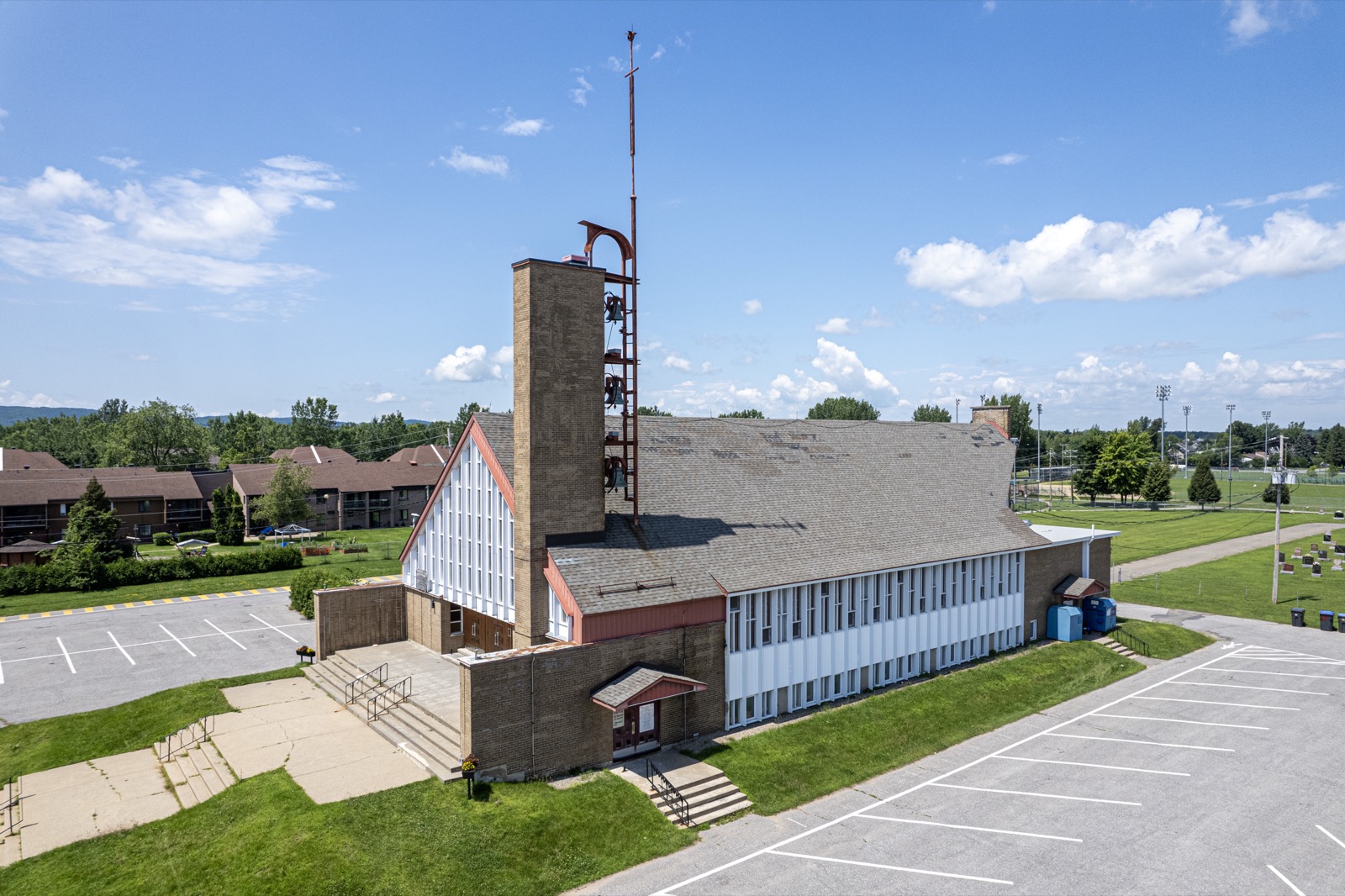
09 L'église Sainte-Marthe, à Sainte-Marthe-sur-le-Lac
Heritage

The Benedictine abbey, on its hill

At 2803 chemin d'Oka, on a hill overlooking the lake, lives a community of Benedictine nuns who have been here since 1936. L'Abbaye Sainte-Marie des Deux-Montagnes was raised to the rank of abbey about a decade later and belongs to the congregation of Solesmes: the divine office is chanted there in Latin, in Gregorian chant, and the public can come for a quiet moment. In 1981, the community even founded a priory in Vermont. Add the église Sainte-Marthe and you have the two landmarks that remind you the city existed well before the residential developments.

Ask me about this: what buyers coming from Montreal notice first when I bring them into the abbey area. It surprises people every time.
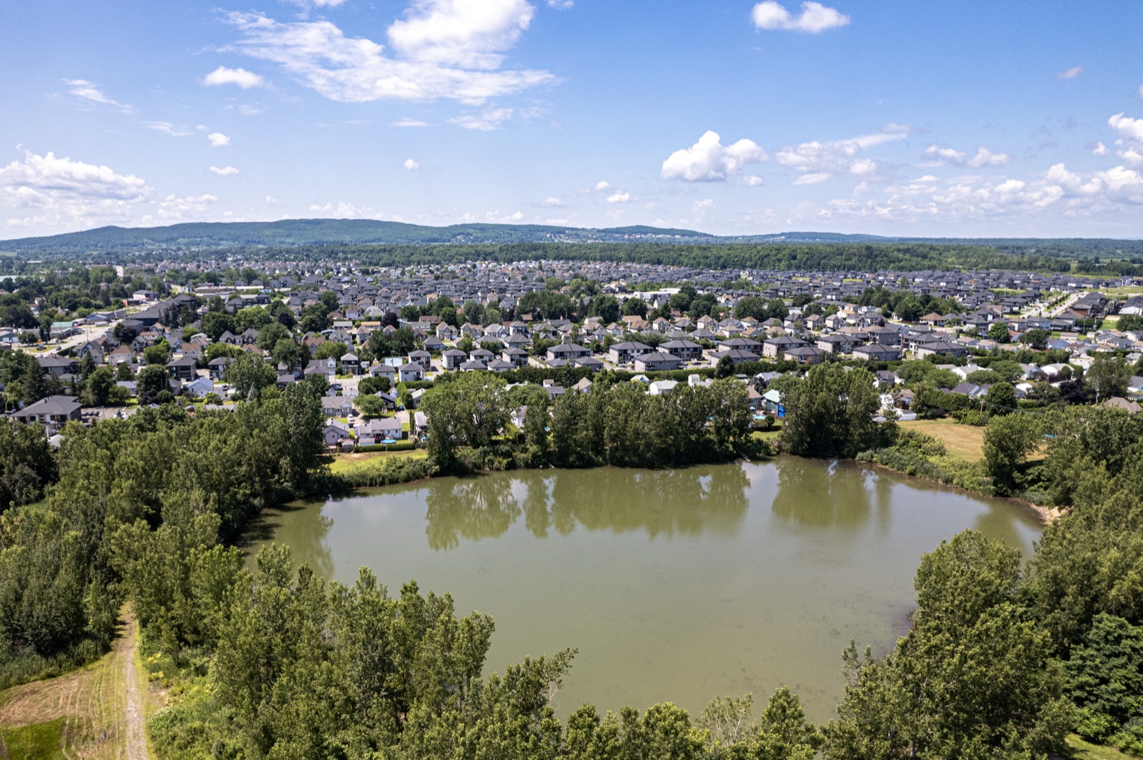
10 Vue aérienne du lac de la sablière Excelsior, entouré du secteur résidentiel de Sainte-Marthe-sur-le-Lac
Outdoors

The beach, the old sand pits and the trails

The municipal Sablière beach is the summer family meeting spot, and former sand-pit lakes like Excelsior and Anguimarc have ended up surrounded by neighbourhoods, giving you quiet bodies of water right in the middle of the suburb. Add parc de la Prucheraie, the municipal park, parc de la Fraternité and a dog park, plus a regional cycling and walking path of about 143 kilometres connecting the parks and natural areas of the Basses-Laurentides, including the La Vagabonde trail, and the Route verte passing through. Oka National Park and the seasonal ferry to Hudson are a few minutes away by car.

Ask me about this: which addresses back onto a park or one of these bodies of water. Those are properties that compare poorly to others, and you need to know how to value them.
Let's talk

Thinking about buying or selling in Sainte-Marthe-sur-le-Lac? Let's start with a conversation.

A free evaluation of your property, a picture of the local market, or simply answers to your questions. No strings attached, and a straight answer.

Start my real estate project

Photo credits